land identification

Audits and recommendations, digitization and indexing of existing documents, land database entries, photogrammetry and digital cartography, fieldwork, computerized monitoring of administrative processes, publishing of titles, etc.

Support for land modernization projects while respecting existing ones to provide methods, know-how but above all tools allowing better management of the property, its acquisition, its justification and its transmission, for the benefit of the administrative teams, the State and all fellow citizens. Audits and technical recommendations . Drafting of project adapted to needs 
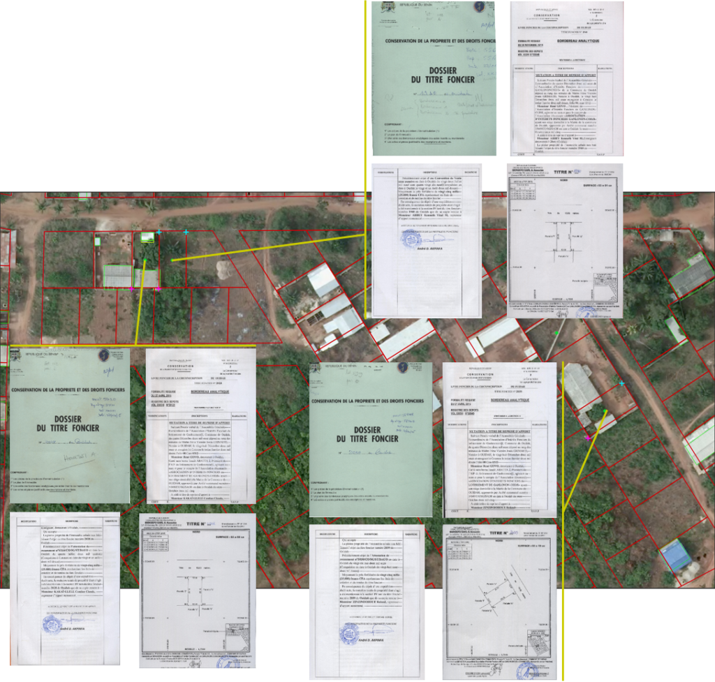
. Document digitization and indexing 
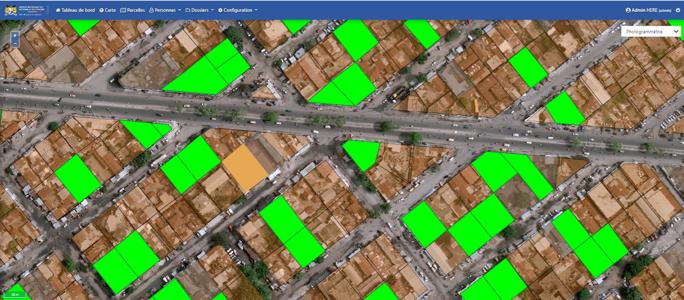
. Entries and creation of LADM* databases 
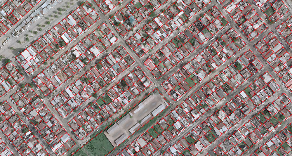
. Inventory, vectorization and assembly of plans . Secure computerization of the administrative process . Inventory and control interventions in the field 
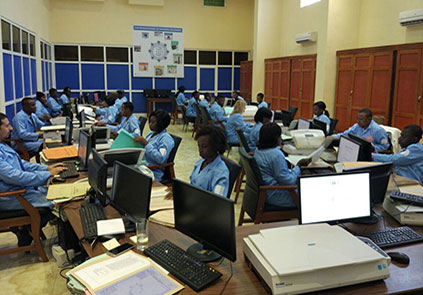
. Skills transfer, training and maintenance

LADM: ISO international land standard
Parcels Cotonou
Aerial view
digitization team
Identification of registered parcels

Modernise and spotlight property

The e-terre solution

e-terre

The e-terre solution is based on the history of a particular lot, that, linked to a land registry map and a photogammetrical survey, allows for a rich and complete database to be created.

e-terre uses the latest (digital) technologies to create a secured national database of real property.
This solution makes it possible to validate new property titles, or any other action, thanks to an online digital signature available to the concerned parties. All of this is made possible through secured access codes.